
Leaderboard


Popular Content
Showing content with the highest reputation on 21/02/24 in all areas
-
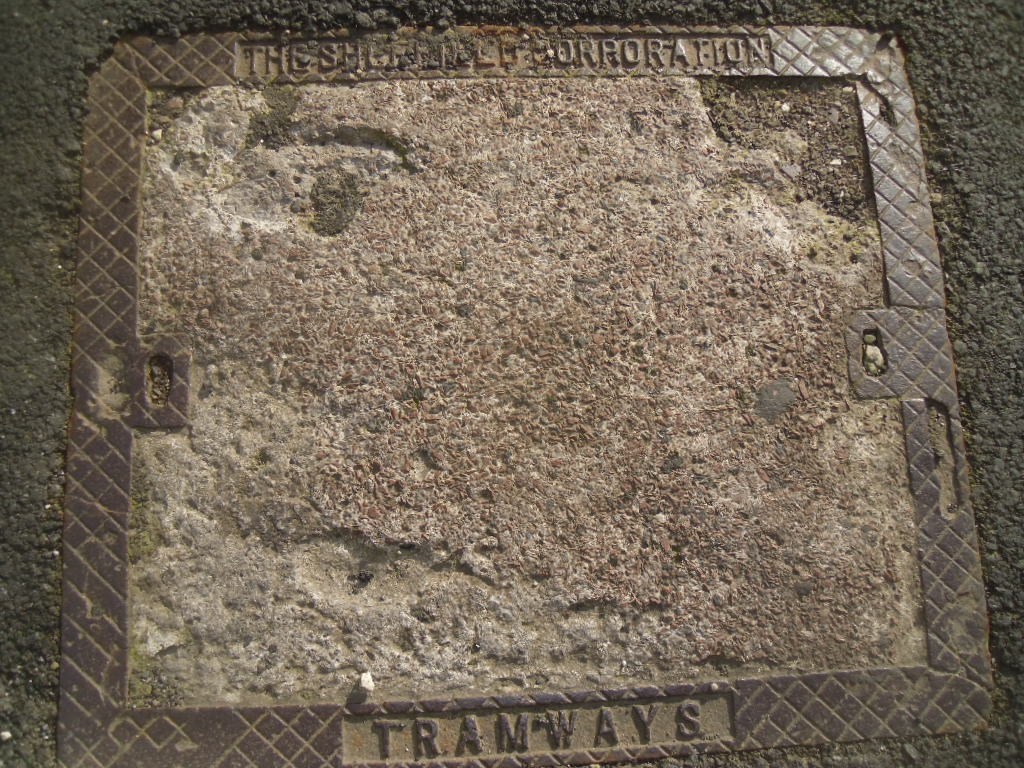
Out walking yesterday ( Tues 20 Feb ) I noticed in the footpath on Cemetery Road at Sharrow Head, the junction of Psalter Lane and Sharrow Vale Road, the service box shown in the attached photo. as far as I am aware and I have just looked at a map of the old tram network on the web, the trams didn't run up Cemetery Road to the top, but turned at the Washington Road junction to proceed to Nether Edge. What's the reason for that box outside 309 Cemetery Road ? I'm intrigued, may be a straightforward answer.
 1 point
 -
As above, there was a plan to have a route over Psalter Lane, in fact a junction was installed at the Ecclesall Road for a few years. There were also electricity feeder cables for the tramway that didn't necessarily follow the actual route, this could be one forming part of a link between Ecclesall Road and Nether Edge.1 point
-
The Sheffield Corporation Act of 1900 gave powers for a number of tram routes to be constructed, some of which were never followed up. One of these was the route from the junction of Cemetery Road and Washington Road, along the upper part of Cemetery Road and Psalter Lane to Banner Cross, with a link along Cowlishaw Road and Junction Road to Hunters Bar. Discussion of this progressed as far as a proposal in May 1900 to pave Cemetery Road in granite when the tram lines from Washington Road to Sharrow Head were laid. During 1908 Psalter Lane residents held meetings against the proposed extension, they said that the existing Ecclesall and Nether Edge services were adequate and that Psalter Lane was the only main route out of Sheffield unspoiled by tramcars. There were calls in council meetings to veto the extension, for which authorisation had been renewed in a 1907 Act, and in 1909 the plan for this extension was abandoned. By then the Corporation were trialling motor buses for new routes, for which they had received the authorisation in 1907 . The electricity supply system was initially shaped by the huge requirements of the tramways. In 1902 the Sheaf Street power station was changed over to 50Hz generation, more suitable for lighting. In 1904 the Neepsend power station came into use.1 point
-
Just had a look at some of the old route maps and posts on the subject and saw mentions of routes being changed and extended. There's a reference to there once being an 'Ecclesall terminus' and the route being extended 'to Millhouses Lane'. Perhaps the answer is the trams did go that way at one time but they re-routed it as the network was extended? If the maps tend to show the final layout of the system, it might not show how it changed over time? https://www.mediastorehouse.co.uk/sheffield-city-archives/maps-plans/sheffield-corporation-tramways-parks-14050142.html1 point
-
Fascinating!1 point
-
The Third Part of the Institutes of the Laws of England is the third volume in a series of books and reports written by Sir Edward Coke (1552 – 1634) in an attempt to provide an exhaustive review of English law. There Coke discusses Robin Hood, stating that men of his lawless profession were called Roberdsmen, and that Robin Hood not only gave his name to these kind of men, but mentions a Bay on the Yorkshire Coast called Robin Hood's Bay. Charlton, in his 1779 History of Whitby Abbey, says that Robin Hood (aka William Fitz-ooth) on occasion used the Bay (6 miles from Whitby) and a small fishing boat to escape his pursuers. Robin Hood, he thinks, was friendly with the Abbot Richard of Whitby Abbey - after one dinner he asked Robin and John Little to demonstrate their long-distance bowmanship. The arrows fell not far from Whitby Laths about a mile distant, and a pillar was set up to mark the landing places of each of the arrows. Apparently the pillars were still standing in 1779 and were mentioned in the deeds of that area.1 point