Search the Community
Showing results for 'coal pit lane'.
-
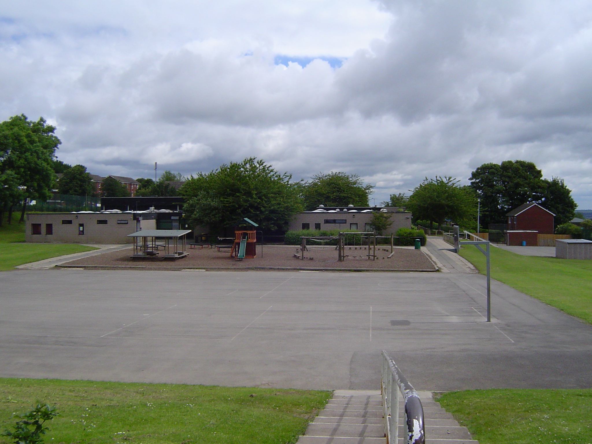
The north western corner of the park is well and truely fenced off with traspassers will be prosecuted signs displayed as this is the site of Gleadless Junior school. A very modern building compared with its Victorian nursery & infant department just across the road. The fencing is clearly to provide safety for the children and protection from vandalism to the building. Photo taken through the "padlock access hole" in the fence at the main entrance on Jaunty Lane. Quite a dangerous site for children as the crosssing requires a patrol person to get kids across what can be a very busy junction.

-

The Park and Sheffield's Ancient Parks
Guest replied to Stuart0742's topic in Sheffield History Chat
R.E. Leader is a bit more specific about the location of 'Park Gate': The Sheffield people, both before and after the civil wars, had got into the habit of avoiding this toilsome route by going through the Park—over Sheaf Bridge (at the bottom of Dixon Lane) in at the Park gate (where now is the junction of Broad Street and South Street), and out, by a line represented by the present Cricket Inn Road, at another gate on Gleadless Moor. (Sheffield, in the Eighteenth Century, p. 95) Based on our old OS maps, that puts it at around about grid ref SK 3605 8754, or roughly the green arrow on this google map. -
The Park and Sheffield's Ancient Parks
Guest replied to Stuart0742's topic in Sheffield History Chat
Scurfield has a good map of the Park, but he names only one 'Parke Gate' - the one at the bottom of Bacon lane near Washford Bridge. There is a 'Keepers Lodge' on the south east boundary at the top of Hurfield hill close to Buck Wood. I imagine this is the gate from Gleadless moor (known these days as Gleadless Common). Quite possibly Hurlfield House stands on the site of the old lodge. -
GRO Deaths MAR Qtr 1890 BATTY William 37 Ecclesall B. 9c 242 GRO Marriages MAR Qtr 1878 BATTY William Sheffield 9c 533 GARFITT Harriet Sheffield 9c 533 1881 census piece 4649 folio 109 page 33 22 Sutton St (Sheffield; St George’s) William BATTY Head Marr 29 grocer YKS Beelson? Harriet BATTY Wife Marr 24 YKS Grimesthorpe Mary BATTY Dau 1 Sheffield Mary E GARFITT Mo-in-law Marr? 45 Sheffield Mary E RODGERS Servant Unm 20 domestic serv YKS Hoplan? In 1891 Harriet is back in Grimesthorpe, 168 Ellesmere Road, listed as a confectioner. She has 6 children (including Nora BATTY ) 1901 now at 51 Hampton Rd, Pitsmoor, still a confectioner (combined with ‘baker’). 6 children still at home, the older two working in the business. The son William is a ‘traveller’ so this seems like a substantial business, the daughter works in the 'warehouse'. It may the W.Batty wholesale confectioners at 37-39 Wicker Lane in a 1901 directory. Still there in 1960 it seems: picture sheffield image Hugh
-
Thanks for replying. Come to think of it, he did say Lodge Moor to begin with, then said 'no, it was Lydgate Lane etc', so maybe he is muddled and meant Lodge Moor to begin with. Did it specialise in chest and lung disease? I don't know. I'll see if I can try again. Thank you mike142sl, appreciate it.
-
The Park and Sheffield's Ancient Parks
Guest replied to Stuart0742's topic in Sheffield History Chat
I was mistaken about the chases being fenced, but I finally remembered where I had read about Rivelin Chase. David Hey in his Historic Hallamshire has this to say about the various chases in Hallamshire and the extent of Rivelin Chase "The medieval lords of Hallamshire set aside huge tracts of land for the hunting of deer and the grazing of livestock. When the Crown enquired into his privileges in 1281 Thomas de Furnival claimed that he and his ancestors had enjoyed the right to hunt within his lordship since the Norman Conquest. Across the River Sheaf from Sheffield Castle the lords of Hallamshire enclosed 2,461 acres of land into a park and built a hunting lodge on one of its most prominent ridges. In 1637 a thousand deer were said to roam in this park.10 The favoured retainers of the lords enclosed smaller parks at their sub-manors of Ecclesall, Wadsley, Shirecliffe and Cowley or hunted on the moors around Midhope. The lords of Hallamshire also hunted over moorland in their chases at Loxley and in the Rivelin Valley. Chases were larger than parks but were not enclosed by palings. They were a lord's equivalent to a royal forest. Elsewhere in south Yorkshire Wharncliffe Chase and Hatfield Chase are two well-known place-names that survive from the Middle Ages. An alternate name for a chase was firth or frith, as in Chapel-en-le-Frith in the High Peak. Rivelin Chase was sometimes called Rivelin Firth and the adjacent moorland area at the top of Bradfield Dale was still known in 1637 as Hawkesworth Firth. The chase or firth in the Rivelin Valley covered thousands of acres on the moorland fringes of the parish of Sheffield and the chapelry of Bradfield. John Harrison's survey of the manor in 1637 measured that part of 'Rivelin Firth that lyeth in the parish of Sheffield' at 5,531acres, Stannington woods within Rivelin Firth at 217 acres, and 'the other part of Rivelin Firth lying ... in the parish of Bradfield' at 1,114 acres, making 6,863 acres in all. Near the end of the thirteenth century, in a confirmation of the grazing rights of the inhabitants of Stannington, Moorwood, Hallam and Fulwood within the chase, the boundaries were said to extend from the confluence of the rivers Loxley and the Rivelin at Malin Bridge, towards Bell Hagg and Whiteley Wood, then up the Porter Brook and on to Stanage, and back along 'the common way which leads from Sheffield towards Darwent'. In other words, it included most of the township of Upper Hallam (one of the six townships into which Sheffield parish was divided for purposes of local government) and a large part of the township of Stannington within the chapelry of Bradfield. The 'common way' seems to have headed back east towards Stannington via Moscar (whose name means the 'moss marsh') and Long Lane, the track already mentioned as being the southern boundary of Hawkesworth Firth. The hunting of deer and of hares was only an occasional pastime of the lords, so the right to graze livestock was allowed not only to freeholders and tenants within the bounds of the chase but was rented to other farmers from further afield. In the 1440s, for example, the accounts of Henry Wrasteler, the forester of Rivelin, included 'pasturing-rents for divers plough-cattle on the moor from strangers there'." -
Hello DaveH, now, as far as I can think back.....! If you stand on Hollinsend Road facing the school, the gennel is on the left, just about where you took the above photo (left one). The plaque was on your right on the school wall. I think it was brass, with an engraving or lettering saying that Mr Spurr, headmaster, was killed outside the school. It may have been....the late sixties is the best I can do I'm afraid. If it was brass, especially nowadays, it would have been stolen ages ago, sadly. I think he was a very tall thin person with a bald head. Something tells me somewhere that this was the reason for having the lollipop lady on Hollinsend Road at the junction with Jaunty Lane. The 'orchard' as we called it, was across the road before the middle school was built. We used to go across there for science lessons and make clay dams and waterwheels in the stream that ran through it. If you need any more I'll dredge the old brains. Thanks for the photos you posted, I enjoyed seeing them. Its all changed now. It was unimaginable that the bowling greens would have to be completely fenced off for their own safety! Back to the gennel by the school, 'Little Plum' lived on the first house to the left of it (if you are facing the park). He'll be long gone by now. Thanks.
-
1833 Sheffield Directory These are keepers of boozers for which we previously had no known keeper. Ball, Cricket Inn Road, William Southern Board, 6 Dixon Lane, S. Knight Brougham Tavern, Cattle Market, Joseph Goddine Chequers, 17 Fargate, M. Coxen Crown, 6 Westbar Green, Mary Daft Odd Fellows' Arms, 25 Silver Street, David White Sidney's Hotel, 23 Haymarket, Hannah Smith Stanley Street Tavern, Stanley Street, Henry Blackwell Quite a significant update. (Main records NOT updated (yet).)
-
Probably wrong but a vague memory says it was a Meteor jet that crashed. Somewhere on the land opposite Frechville centre and before Occupation Lane?
-
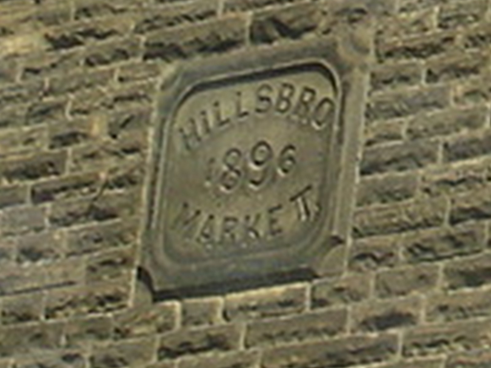
Vox took the picture of Uncle Sam's Chuck Wagon Holme Lane for the Mystery Location, this date stone is at the side of it.

-
You have the location exactly right, opposite the Acorn Inn. The Acorn is a favourite of mine & was the first pub I ever went in aged 6 or 7. In my case I was carried in rather than carried out. We'd been to the cinema in Ecclesfield (now gone) & were travelling back by bus. You know the type, those with the open platform at the back with a central pillar. I'd met a friend on the bus & worked myself up to a frenzy of excitement so as we reached the bus stop I ran downstairs, did a pirouette around the pillar & left the bus before it had come to a halt. I didn't notice the dark shadow lumbering towards me as I skipped across the road opposite the Acorn. In the 50's most cars had flared wheel arches and it was this that had stuck against my right knee. The surprise more than anything else put me on my back & a quick glance confirmed the injury to be minor. However by this time everyone that had been on the bus was now stood in a circle around me advising that I should not move until I had been seen by a doctor. On the basis of grown ups know best I did as I was told & felt progressively more poorly. Someone scooped me up in their arms and carried me into the Acorn and a doctor was called. When the doctor arrived he duly inspected the wound & with a disdainful look declared it to be "Now't more than a scratch," and "what did you call me for?" I did however enjoy the lemonade that the landlord gave me but not as much as my mother enjoyed her brandy. In respect of the school on Bracken Hill Camp I was a pupil at it twice. On the first occasion in 1951 I attended it as an infant school & mother worked there as a playground nanny. I was able to get away with murder in the playground seeking shelter from mothers skirt whenever I'd pushed my mates just that bit too far. The trouble was most days I ended up with a thick ear after school. Later after I had completed my junior schooling at Burncross (also gone) I went back to Bracken Hill which by 1957 was now, as you say, an annex of High Green Secondary Modern. The first year of secondary education was spent a Bracken Hill before going up to the "big" school on Greengate Lane.
-
Patriot's Society I don't know what this Society was about, any ideas ? From White's 1852 George Hall, Agent to the Patriots' Society (Mitchell Street) From Kelly's 1893 Samuel Ashmore, Agent for the United Patriots' Society (150 Broad Lane) Was this some national organisation ?
-
V--Weston St. Church at Garden St. (Temporarily) It will be noticed how frequent and continuous there appear the names of Richardson, Andrews and Neal. John Richardson, Snr., was residing on the premises in Pinstone Street (pulled down in the [18]80's for street improvements). John Richardson, Jnr., was resident in Fitzwilliam St., James Andrew (an Accountant), residing at 43, Campo Lane, and John Neal at 14, St. Philip's Road. In the year 1859 we find George Wagstaff admitted a member of the Church. The work of this congregation was marked. The membership numbered 112. At this period another name was added to this noble band, that of James Howarth, tool maker, who had removed from Sharrow Vale to 75, Gloucester Street. The following interesting minute is evidence of this fact: "That Bro. Howarth having removed from Sharrow Vale, and come to reside in the Town, he be recognised as a leader in connection with the Society, and that he raise a class at his own house or elsewhere." The membership was still further increased by the names of Mary Neal, Ann Crapper and Joseph Crapper. An interesting event of this period was handed to the writer of these notes by the late Charles Hobson (a labour leader) to the effect--"Watery Street Reform Chapel had been erected--he held the office of Secretary to the Preachers' Meeting for nine years. John Neal was President. He (Hobson) preached his trial sermon in the small vestry at Watery Street at 7 o'clock on the Sunday morning. Messrs. Westby, Wagstaff and Wilkinson were present. He went to breakfast with Wagstaff, who lived in Fitzwilliam Street." The Sunday School, with nearly 200 scholars, was prospering in a remarkable manner. The Superintendents were Messrs. Fould and Booth; the General Secretary, Mr. Edward Richardson; and the treasurer, John Richardson, Jnr. On alternate Sundays, the following persons interested themselvesin the School as Teachers with six classes--Mr Hawley, John Feltrup, Matthew Andrew, Mr Walton, E. Gray and James Andrew, Junr., with Miss Walton (friend of Miss Neal), Miss Machon, Mrs. Blenkhorn, Miss Butterfield, and Miss Neal. In this year (1859) also commenced to preach was Joseph Dyson, a Weslyan Reformer, who reached the age of 92 years, and died in 1930. Another evidence of longevity is the Secretary of the Sunday School at Garden Street and Weston Street, who is still living at the age of 90. At a Church Meeting, a Committee of 23 were appointed to decide what was to be done after 1860 when the lease of Garden Street Chapel expired. The Trustees were willing to sell the premises. There were now 50 preachers on the plan, and many young men preparing to extend this work of God's Kingdom by the Reformers. In the year 1859, a minute appears "That the Circuit Committee be applied to for the ownership of the old Chapel." We are not informed as to the reason, but a Committee :consisting of J. Wilkinson, W. Wilkinson, J. Booth, J. Neal, J. Olivant, J. Richardson, G. Wagstaff." were appointed "to look out for a site eligible for a place of worship and school room for this church, and report."
-
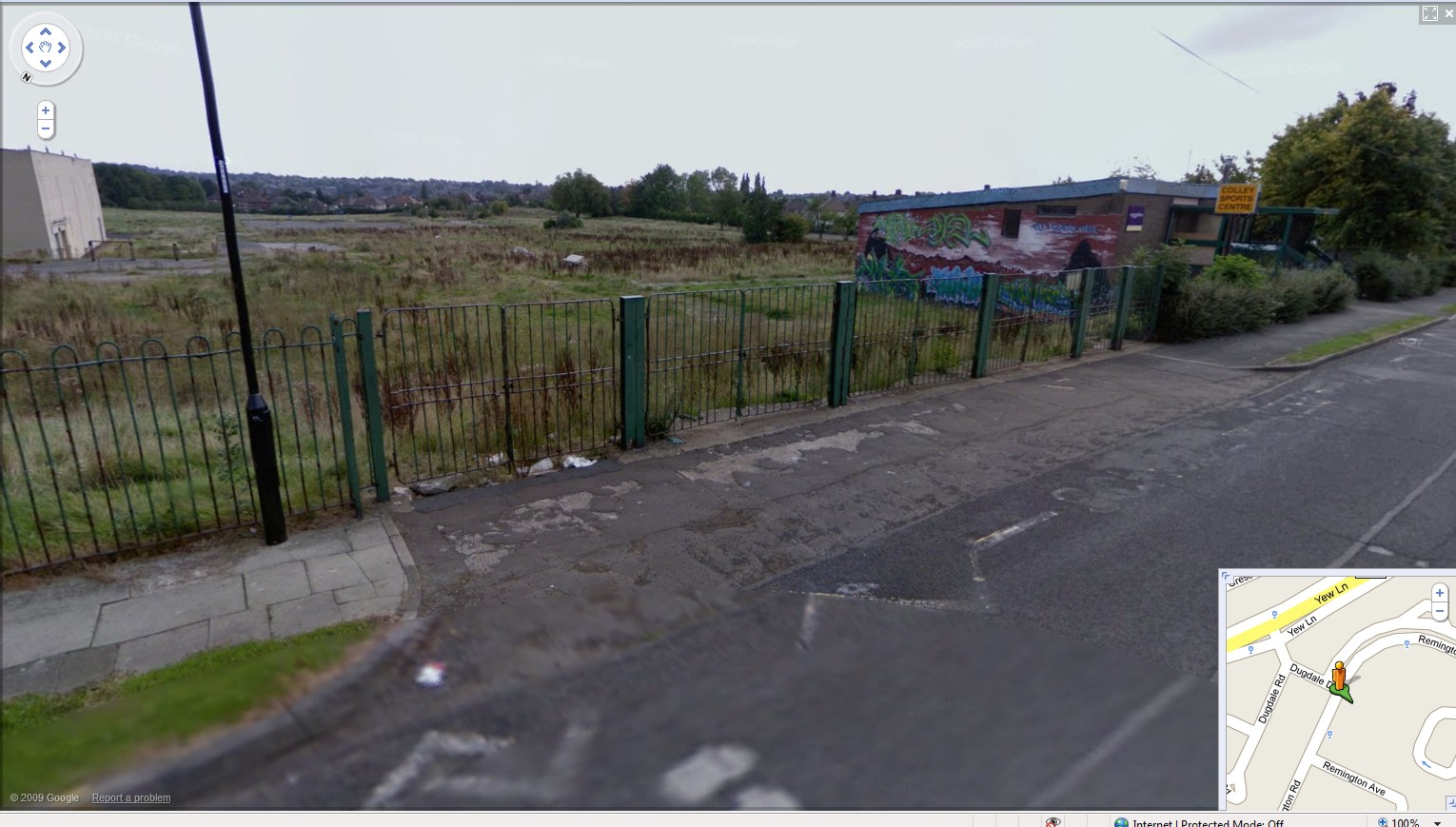
Colley on Parson Cross. I went to Yew Lane but used to pass Colley when I used to go to the chippy on Margetson Crescent in the late 50's early 60's.

-
There's also: White's 1852: Joseph MYERS Comb manufacturer 17 South Street, Park Kelly's 1893: Joseph MYERS Comb manufacturer 27 South Street, Park & Moss Wheel, Shude Lane
-
Sheffield Parks Recreation Grounds and Open Spaces
neddy replied to Stuart0742's topic in Sheffield History Chat
Wonder why our illustrious council didn't keep to the bargain A gift to Sheffield. October 1878 It was announced at the meeting of the Sheffield Council, on Wednesday, that the Duke of Norfolk had set apart three pieces of land as recreation Grounds for the people of Sheffield. The land is situated at Parkwood Springs, Carlisle Street East, and Beighton-lane districts, where thousands of working people will be able to use these open spaces. His grace has given these grounds, which are upwards of twenty six acres in extent, to the Corporation, on condition that they be preserved as recreation grounds, for the people of Sheffield forever. The thanks of the Corporation were voted to his grace for his gift. -
Suspect this is a beerhouse 1900's Unidentified Street, possibly Crofts area. Suggestions include Button Lane http://www.picturesheffield.com/cgi-bin/pi...ff.refno=u01080
-
Bounty Lane ??? No date given. http://www.picturesheffield.com/cgi-bin/pi...ff.refno=t02554
-
Extract : Sheffield has one of the best surviving collections of early board schools in England, unparalleled outside London. Following the 1870 Education Act, Sheffield’s newly elected School Board vigorously set about constructing new schools, completing 39 before its demise in 1903. Charles J. Innocent (1839-1901) was appointed architect to the Board and he, together with his partner, Thomas Brown (c. 1845-81) were responsible for 19 of the 22 schools built between 1873-1881. The first of them and, it was claimed by the architects, the first commenced under the 1870 Act, was Newhall School, Sanderson Street. By 1877, attendance at the new schools had reached 31,000. When invited to open Park School in 1875, the Liberal MP David Chadwick remarked "How in the name of fortune the School Board have persuaded the ratepayers of Sheffield to tolerate their extravagance in spending £100,000 in the building of 14 or 15 schools as substantial as so many castles!". Newhall School, Sanderson Street (earliest) Fulwood (1878) Langsett Road (1879) Woodside, Rutland Road (1880) Burgoyne Road (1881) Duchess Road (1883) Huntsmans Gardens (1884) Sharrow Lane (1887) Abbeydale (1890) Gleadless Road, Heeley (1892) and Hunters Bar, Sharrow Vale Road (1893). http://www.lookingatbuildings.org.uk/citie...rd-schools.html http://www.lookingatbuildings.org.uk/citie...and-design.html
-
Unidentified buildings and streets
ukelele lady replied to RichardB's topic in Sheffield History Chat
If that is Mowson Lane Worrall then the opening on the left is the driveway to Middlewood Hall. But you can see roof tops to the left and there's no houses in the grounds of Middlewood Hall. -
I wouldn't That to me looks like the view down Mowson lane in Worral.
-
Leadmill Bridge Leadmill Road Once known as Boardman's Bridge ? (over the Porter) Duchess road bridge is missing from the list as is Havelock Bridge over the Sheaf and the railway line. Malin Bridge unless this is meant by Mousehole bridge ? There's also the other bridge there carrying the Rivelin Valley road over the Loxley. Abbey Lane bridge..rail and river, Woodseats road, Archer road (2) the same. Perhaps easier to follow the rivers rather than the alphabet :D
-
Unidentified Photograph 1910's, Information on back of picture reads, 'William Higgitt, father-in-law of Henry Chambers, Manager of Tinsley Park Colliery', possibly bottom of Yew Lane Probably needs checking against http://www.sheffieldrecordsonline.org.uk/ http://www.sheffieldindexers.com/1841Census_Index.html Census etc etc [RichardB - sure I've seen this picture before, now, I just need a brain that works ...] http://www.picturesheffield.com/cgi-bin/pi...ff.refno=s10484
-
Unidentified Court Suggestions include Granville Lane/Street, however does not match. http://www.picturesheffield.com/cgi-bin/pi...ff.refno=s06121
-
Unidentified housing (1900's) Suggestions include Court on Granville Lane, however does not match maps. http://www.picturesheffield.com/cgi-bin/pi...ff.refno=s06056