
Leaderboard

Popular Content
Showing content with the highest reputation on 18/06/22 in all areas
-
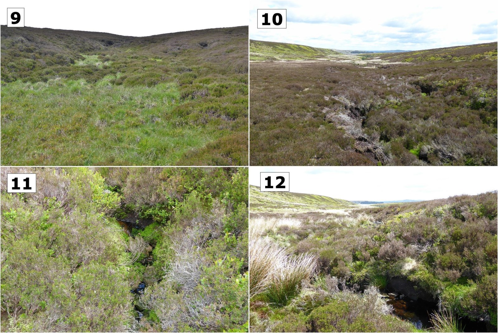
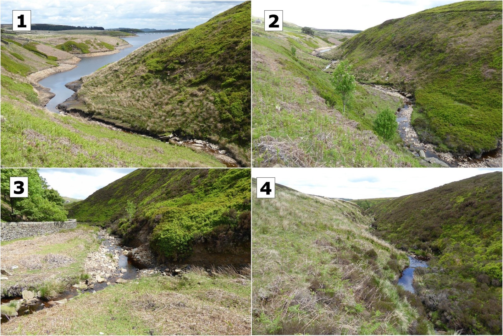
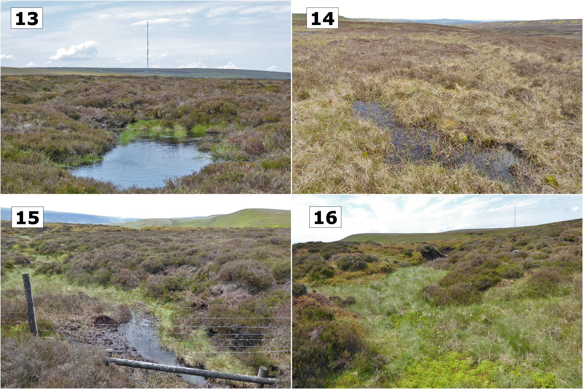
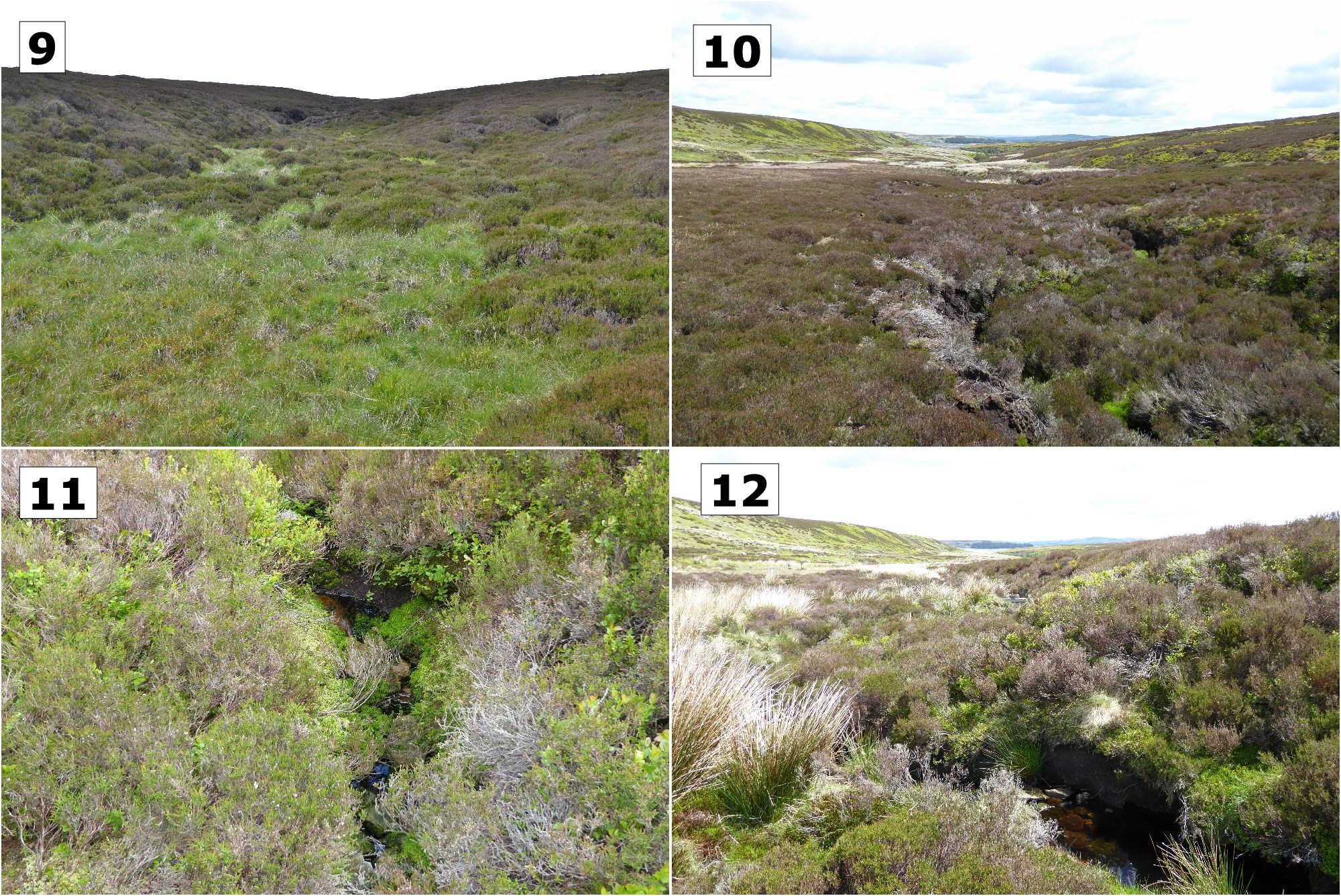
Because River Don is the major river of South Yorkshire and flows right across it from the extreme west to the extreme east I have always had an interest in its source. The location of the latter is somewhat complicated by the fact it is dammed very early in its course by the Winscar reservoir which is about 6 miles west of Penistone. However, careful inspection of a large scale map shows that the Don, as a stream, flows into the reservoir's western arm (see pic 1) and its source being just over a mile further west from there at SE 119 027 (see pics 13 & 14). By the time the Don flows into Winscar numerous streams have already converged into it including one from "Don Well" (see pic 6) which is situated at SE 133 027. Despite its name the well cannot really be thought of as the source because the Don is already a significant stream (see pic 5) before it reaches that area. Furthermore the quantity of water flowing into the Don from the well is relatively insignificant, or it was on the day I visited (see pic 8). Arguably, because it is all a little subjective, the Don rises from an area of marshy ground around Withens edge and at that point it appears to be named Great Grain(s). Interestingly the aforementioned area is the watershed for the Don and the River Etherow (see pics 13 to 16) , the latter flowing in the opposite direction and eventually ending up in the Irish sea via the rivers Goyt, Tame and Mersey. The Don's eventual destination is, of course, the North sea so, in this area, drops of rain landing just a few feet one way or the other determines which sea they flow into 140 miles apart. It is not just coincidence that Holme Moss radio transmitter is situated less than 2 miles from this watershed (see pic 13) because transmitters are, ideally, situated at altitude to maximise their coverage. Holme Moss is purely a radio TX these days but when it was built in 1951 it transmitted TV (on VHF) over both sides of the Pennines, just like the Don/Etherow watershed does for water ! Also see : https://drtomsbooks.files.wordpress.com/2019/11/the-yorkshire-river-don-b.pdf Pictures (in rough geographical order E to W) : 1 - River Don entering the west end of Winscar reservoir 2 - River Don flowing down towards Winscar reservoir 3 - Confluence of Little Grain Clough (?) and the Don 4 - The River Don just downstream of Don Well 5 - Last confluence of the Don (or Great Grain) before Don Well 6 - Don Well 7 - Water rising from the marsh at Don Well 8 - Water from Don Well seeping into the Don 9 - Just down from the Don watershed, looking west 10 - Early course of the Great Grain 11 - Typical rising of a watercourse 12 - Great Grain as a brook 13 - River Don watershed facing WNW towards Holme Moss transmitter 14 - River Don watershed facing east 15 - River Etherow watershed facing SW 16 - River Etherow watershed facing SW (note Holme Moss transmitter to the right).

.thumb.jpg.07f9920c10cf8c6f383417b38964cf7b.jpg)
 1 point
.jpg.65c9722f880ca0e63ad90d72342fe2ee.jpg)
