
Leaderboard

Popular Content
Showing content with the highest reputation on 16/05/21 in all areas
-
Great stuff! They are indeed often placed for an underground water course.1 point
-
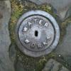
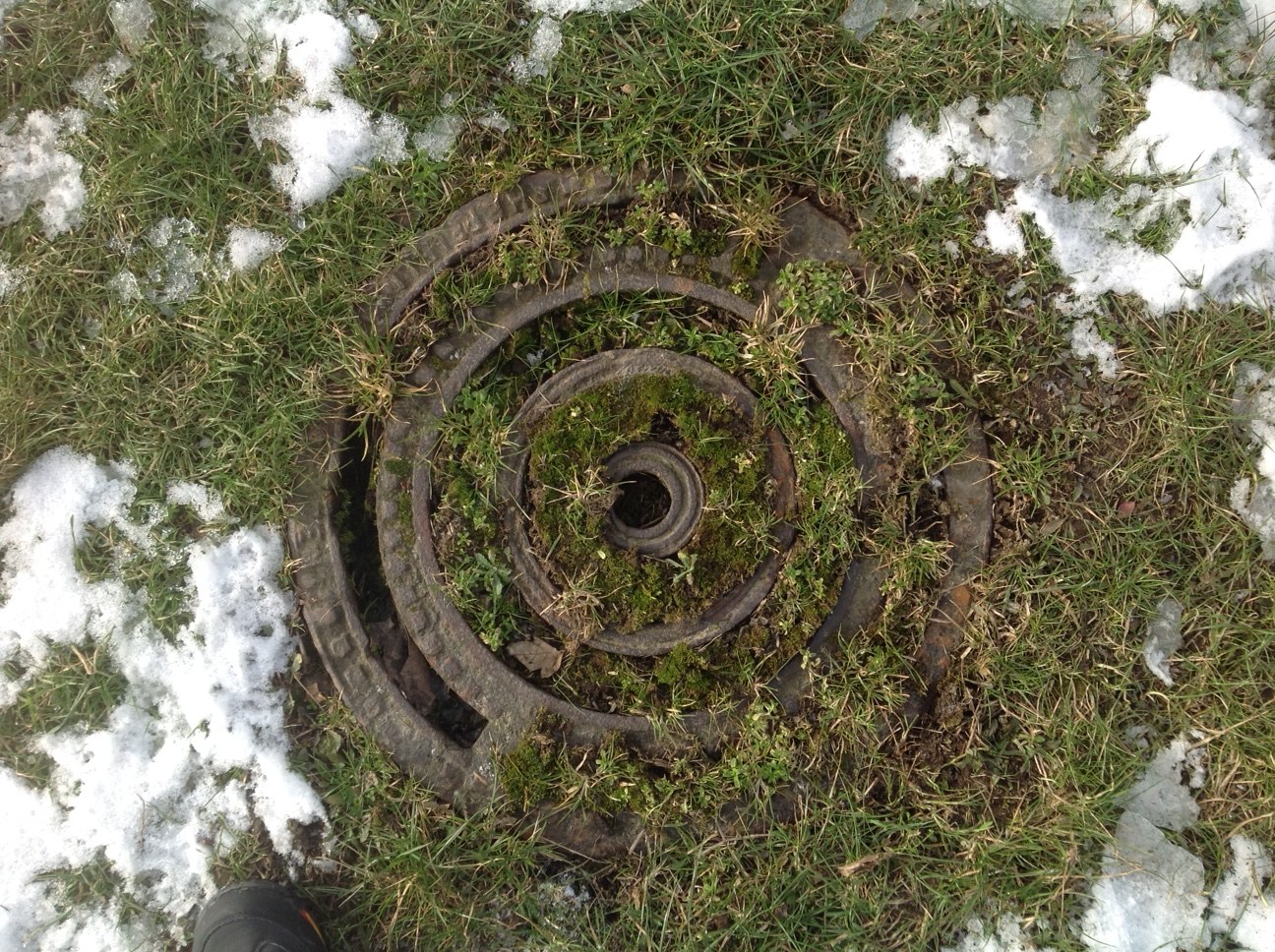
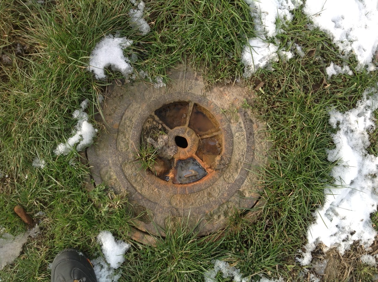
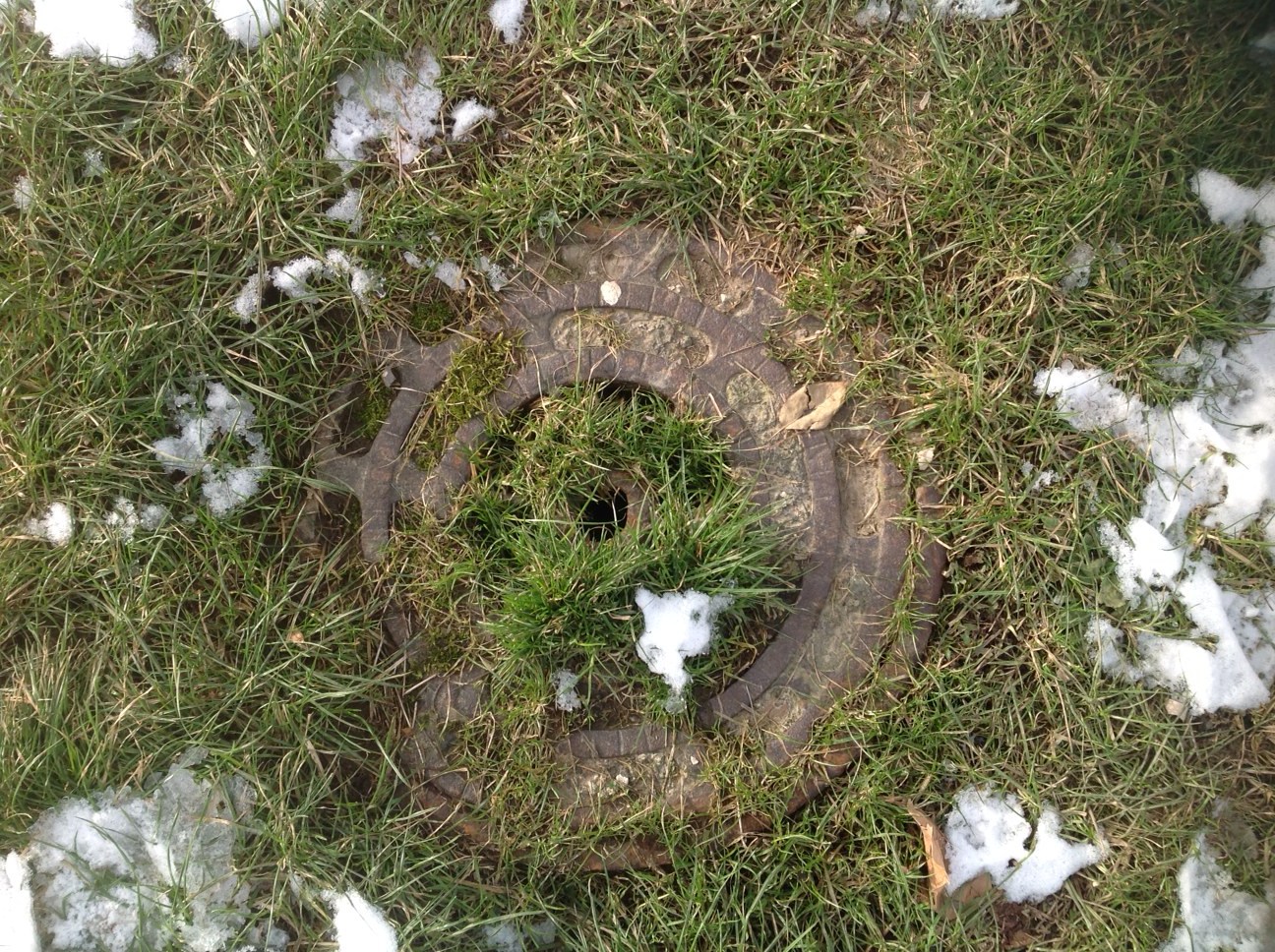
Remnants of Watery Lane. Inspection chamber covers along the course of Watery Lane on what is now The Ponderosa which survive as markers of where the street was originally laid. I recorded them in the following order walking east to west and estimate them to be situated near the following positions in comparison with the old streets that also existed at the time. 1 = Watery Lane/Adelphi St/Fountain Square 2 = Watery Lane /Adelphi St 3 = Watery Lane 4 = Watery Lane near the junction with Hammond St. Watery Lane originally existed as a track that ran from Port Mahon towards the terraced dams at Crookes on what is now the upper reaches of the Ponderosa towards Crookes Valley Road and was recorded on various maps prior to the extensive development of the area around the 1830’s. I suspect these covers were put in when Watery Lane was developed and the small stream that ran along the course of the lane was culverted. N.B. Photo's taken Feb 2021.

 1 point